The Next Generation of SBAS Flight Management For Turbine Pilots
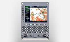
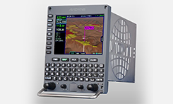
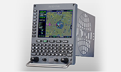
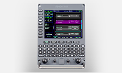
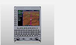
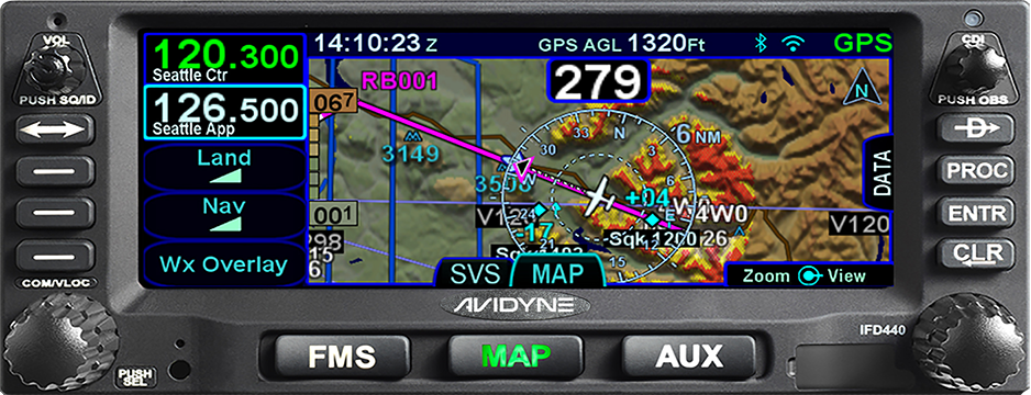
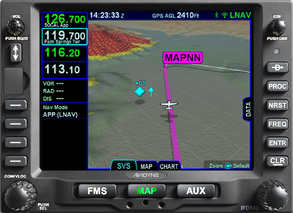
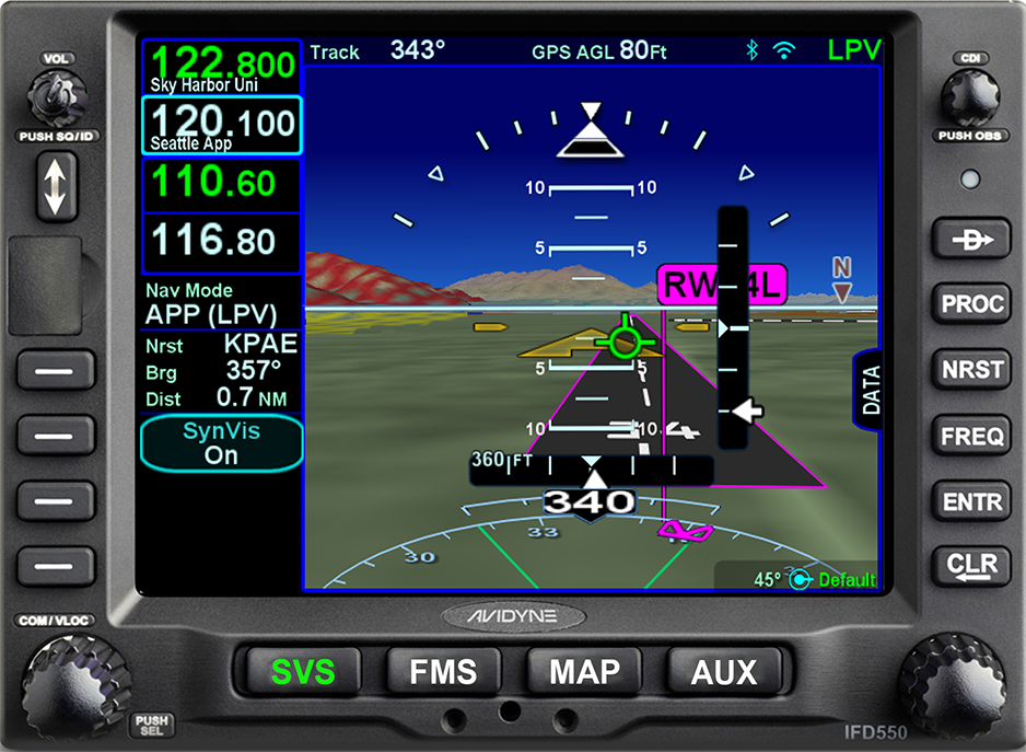
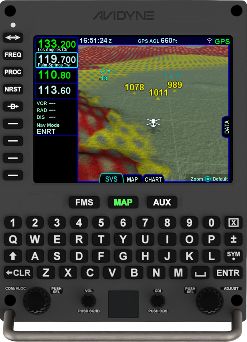
Avidyne ATLAS™ sets a new standard in turbine class navigation systems with full Required Navigation Performance (RNP) and Area Navigation (RNAV) capability, including Localizer Performance with Vertical (LPV), Lateral Navigation/Vertical Navigation (LNAV/VNAV), LNAV-Only, and Approach Procedures with Vertical (APV) approach modes. But true capability demands ease-of-use which is why we built-in features like easy flight planning, one-touch departure, airway, and arrival navigation, and included our patented GeoFill™ waypoint nomination. We even included a full keyboard and touch-screen input for easy map panning and flight plan editing.
Avidyne Atlas makes flying a pleasure with easy-to-use flight planning, one-touch departure, airway and arrival navigation, plus Avidyne’s predictive GeoFill™ waypoint nomination combined with map panning and rubber-band flight plan editing.
Features
- Part 25 Certified
- Easy-to-use flight planning, one-touch departure, airway, and arrival navigation
- Predictive waypoint nomination with Avidyne’s patented GeoFill™
- QWERTY-style dedicated keyboard along with touch-screen hybrid touch user interface
- Integrates with most existing equipment in including EFIS, PFDs, CDIs, HSIs, remote sensors, and autopilots
To download the Approved Model list (AML) for Part 25 aircraft click here. Multiple other installs completed with field approvals.